Summary
We traveled 131 miles on this segment between June 21-22 and enjoyed Québec City between June 22-25.
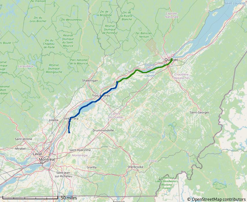
Figure 1: Side Trip to Québec City
Side Trip to Québec City
From Saint Ours Lock, we continued down the Richelieu to where it meets the Saint Lawrence River, Sorrel. From Sorrel, the Saint Lawrence flows toward the Atlantic Ocean until Trois-Rivières, where tidal currents begin to take effect.
Batiscan River
The Batiscan River offered a nice anchorage out of the Saint Lawrence and close enough to Québec for an early arrival on the next day. Once anchored, we kayaked on the river.
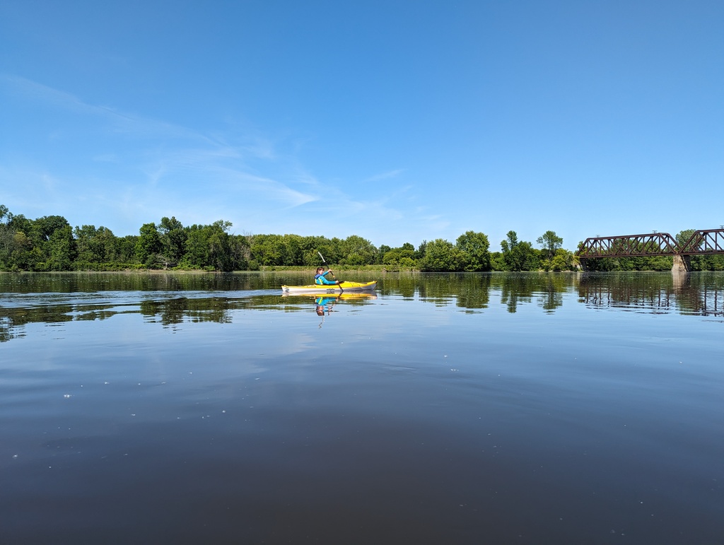
Figure 2: Batiscan River
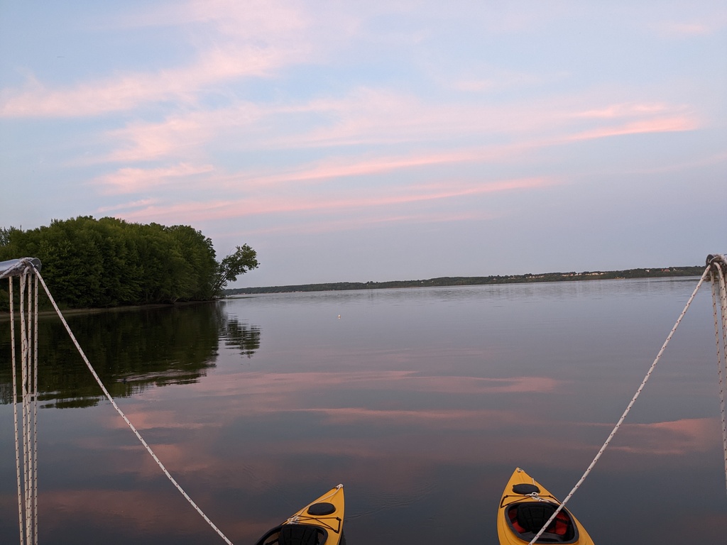
Figure 3: Dusk, Batiscan River
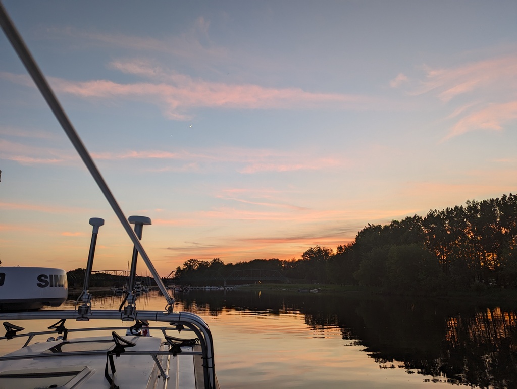
Figure 4: Sunset, Batiscan River
Québec City
The name Québec was derived from the Algonquin indigenous word for “where the river narrows”. The narrow river and cliffs offered a strategic location to protect and consolidate the trade of beaver pelts from Ottawa River and beyond. Québec is divided into lower town, offering convenient water access, and an upper town, providing natural fortification. Figure 5 from 1688 illustrates Québec’s lower, trade, and upper, fortification, towns.
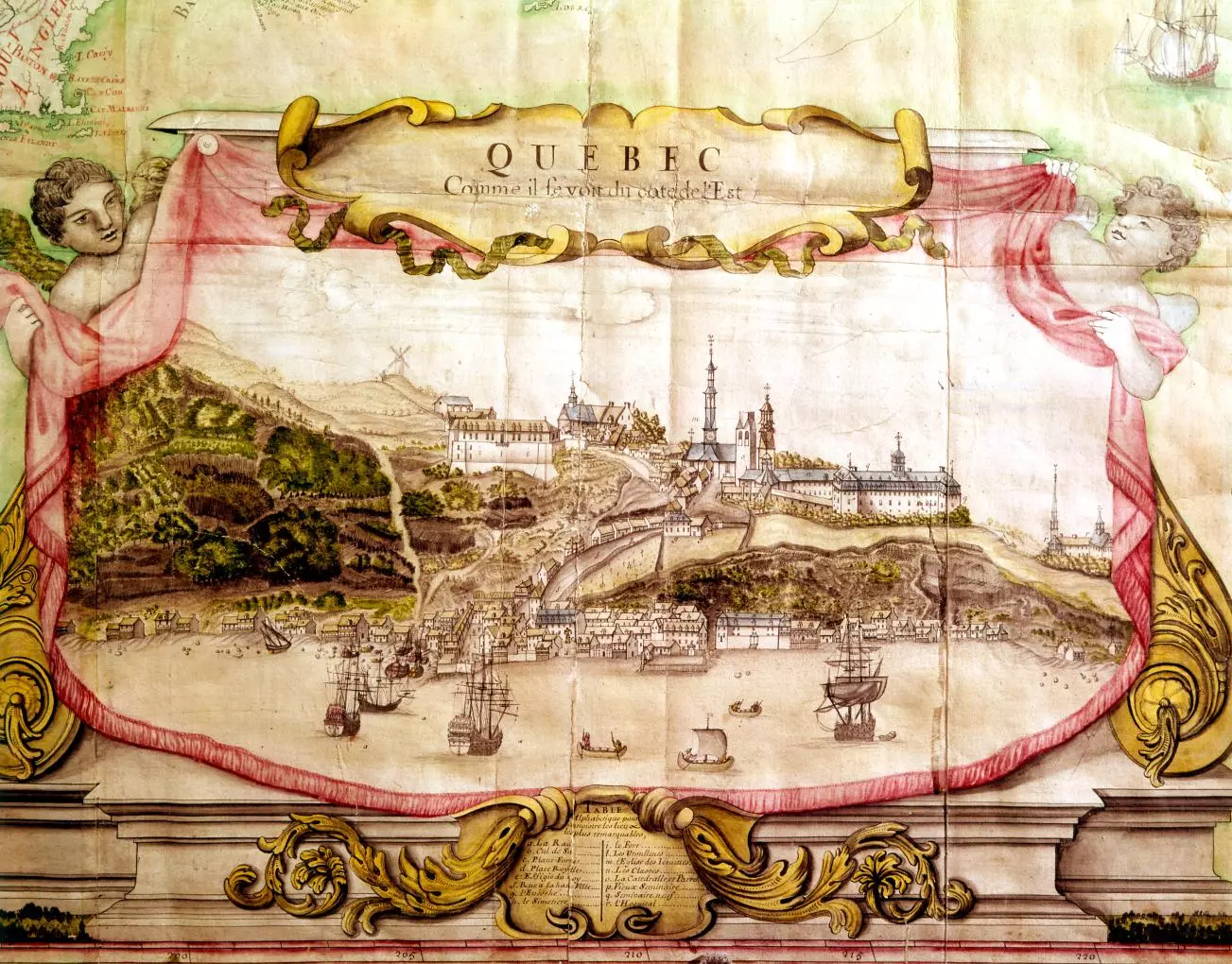
Figure 5: Quebéc City, 1688
Lower and upper town are still apparent from the Saint Lawrence river
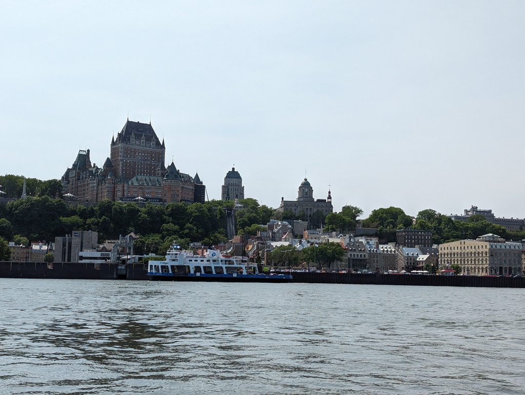
Figure 6: Québec City from the Saint Lawrence
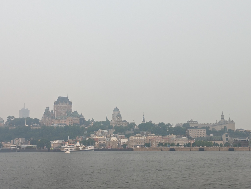
Figure 7: Québec City from the Saint Lawrence
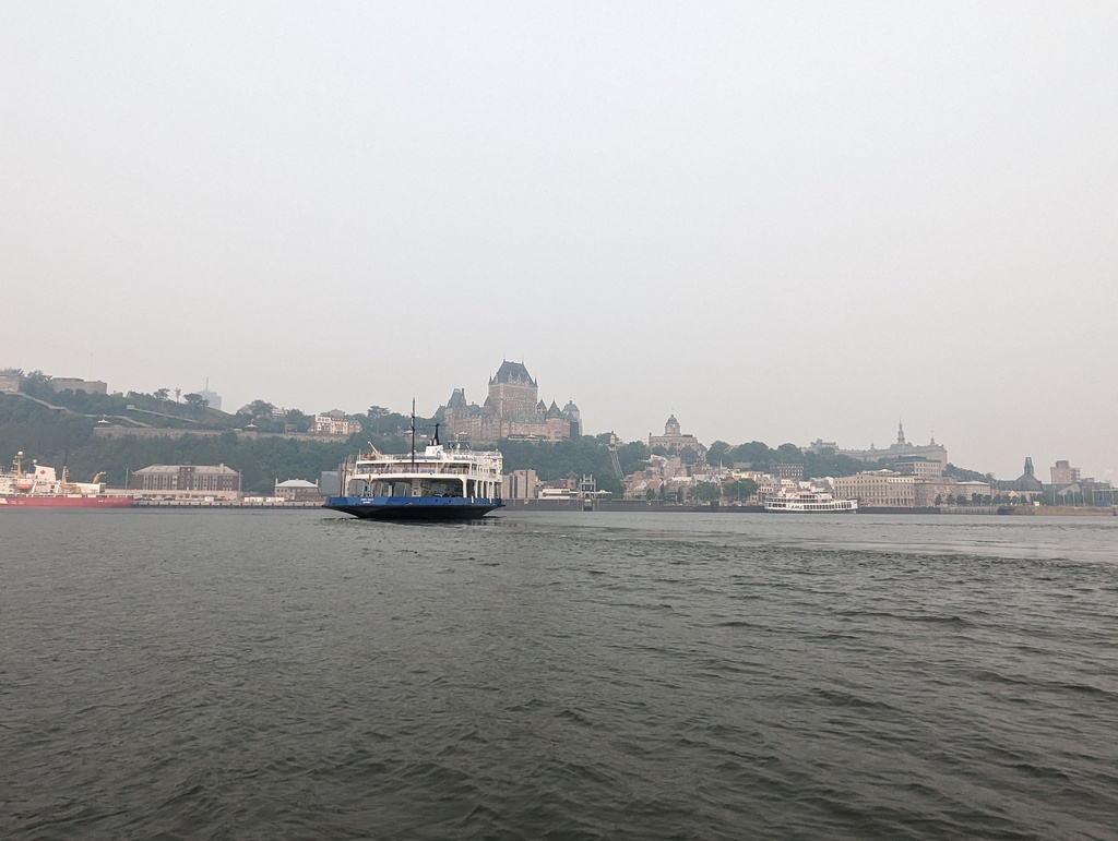
Figure 8: Québec City from the Saint Lawrence
Basin Louise
Basin Louise was built in the late 19th century at the junction of the Saint Charles and Saint Lawrence rivers to modernize Québec’s declining port. A lock provides access to the basin, controlling water depth from the river’s tidal change.
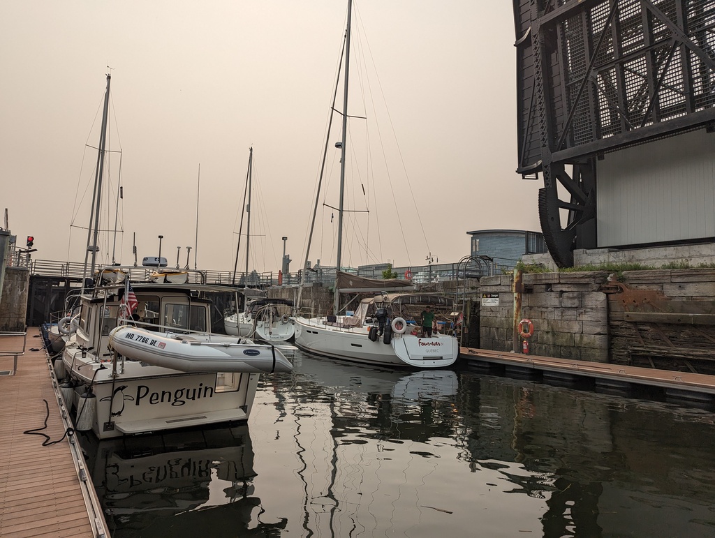
Figure 9: Lock access to Basin Louise
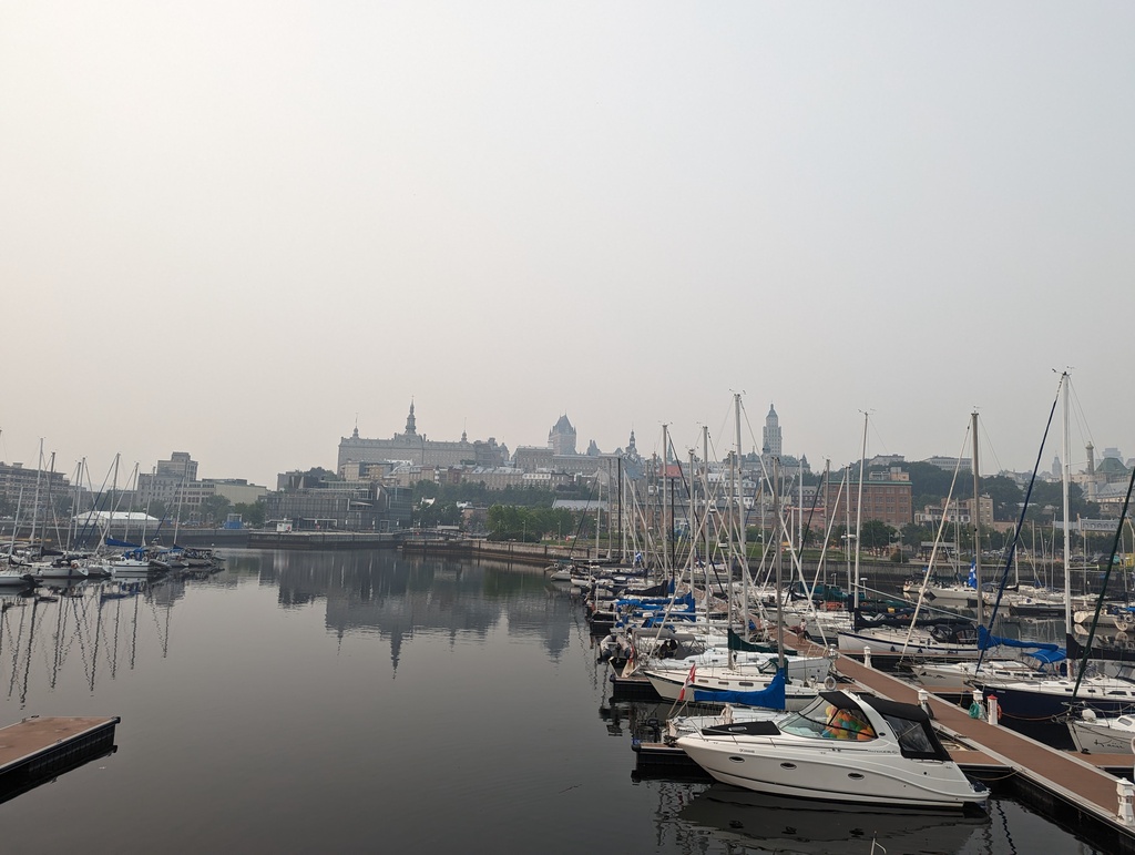
Figure 10: Québec City in morning fog from Basin Louise
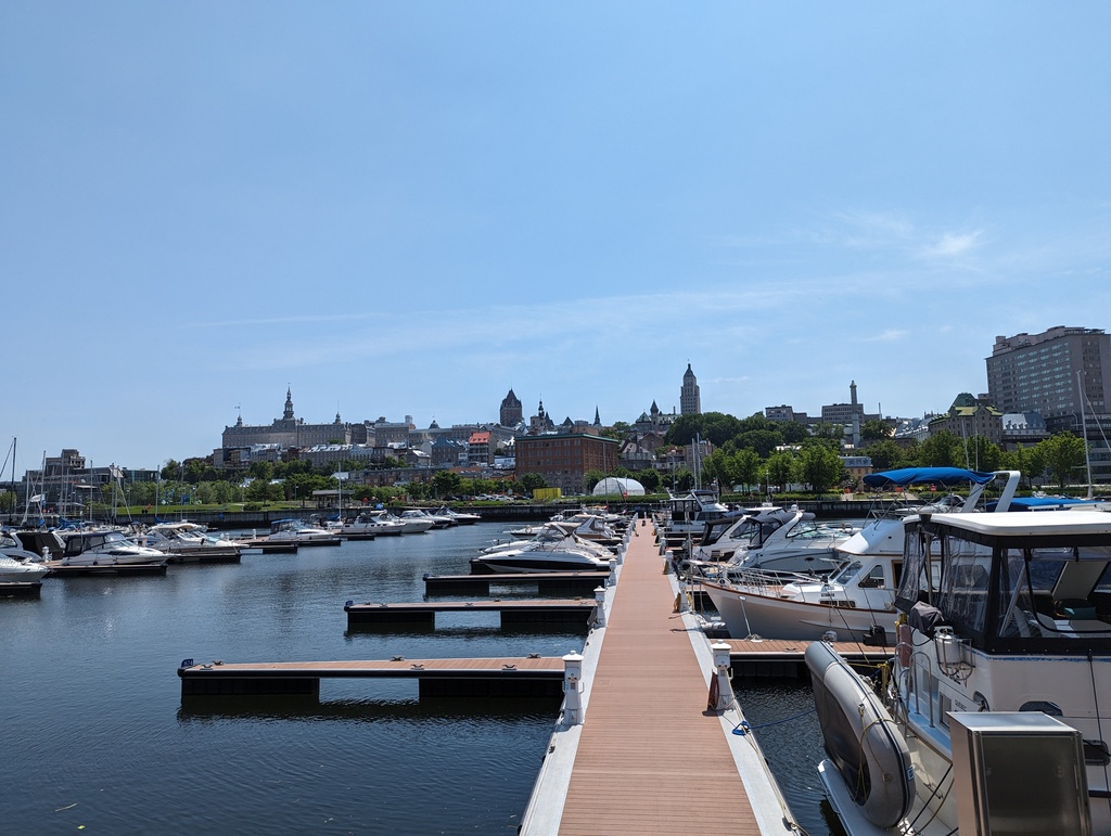
Figure 11: Québec City from Basin Louise
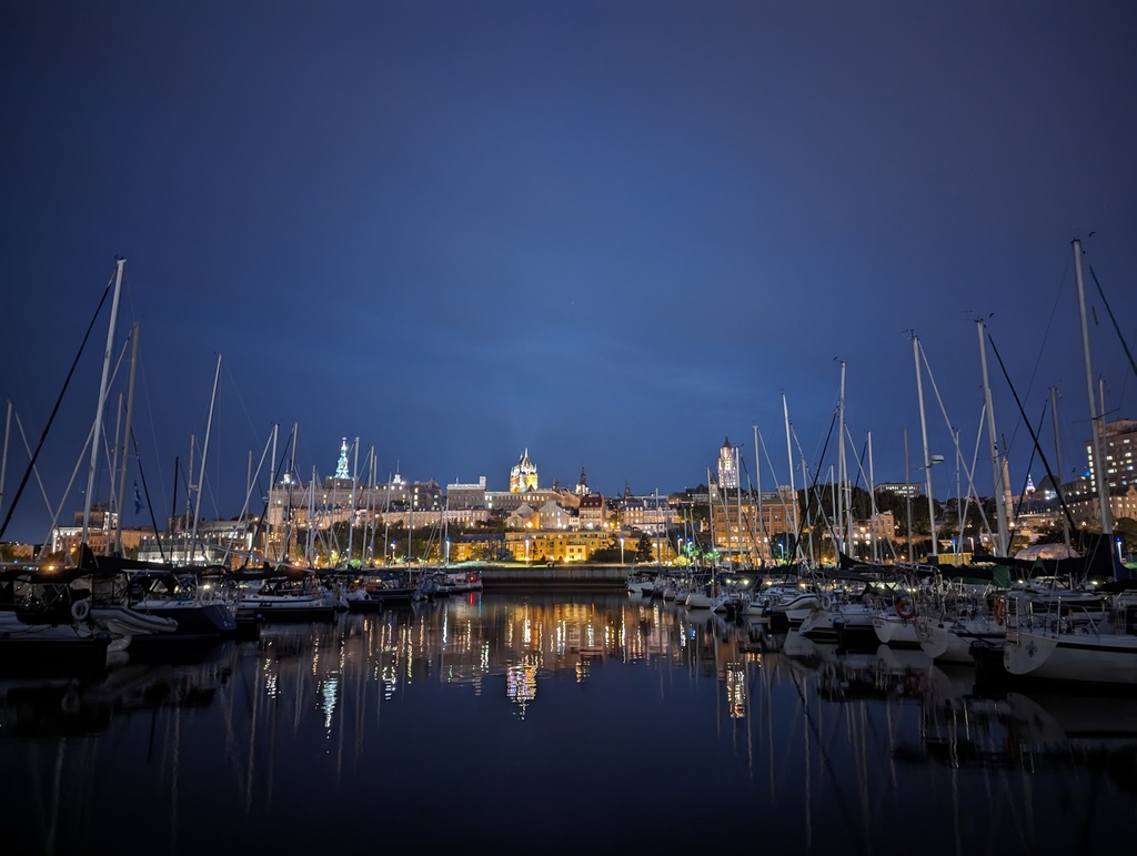
Figure 12: Québec City at night from Basin Louise
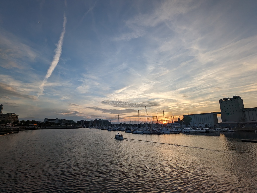
Figure 13: Sunset at Basin Louise with grain silos
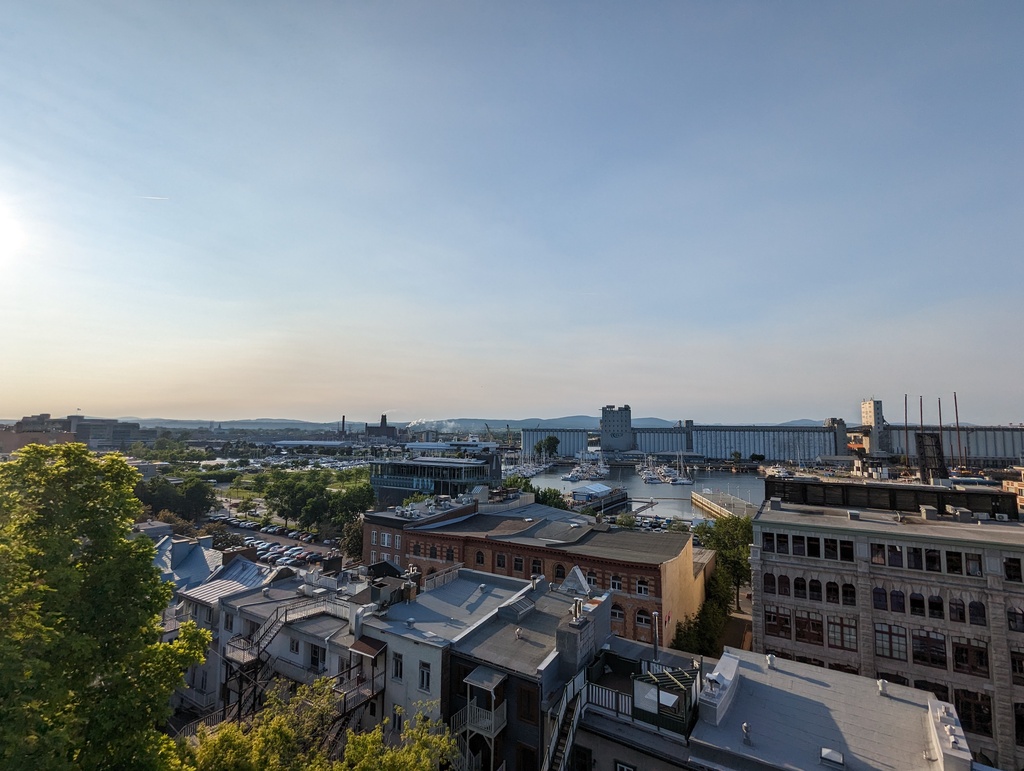
Figure 14: Lower Town and Basin Louise with grain silos

Figure 15: Basin Louise sunset
Lower Town
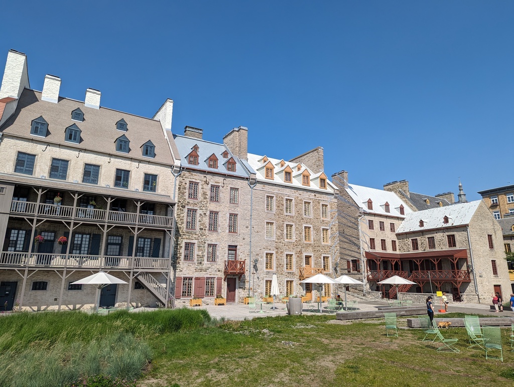
Figure 16: Place des Canotiers
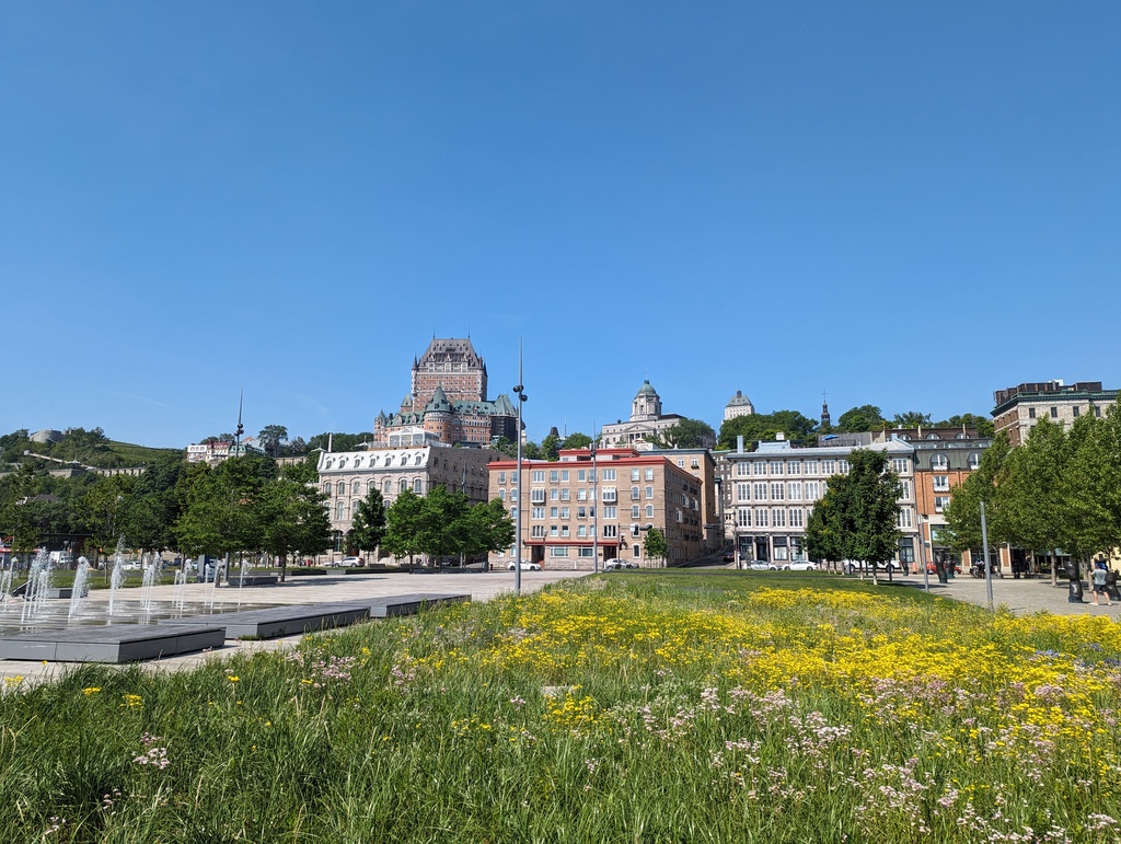
Figure 17: Upper Town from Place des Canotiers
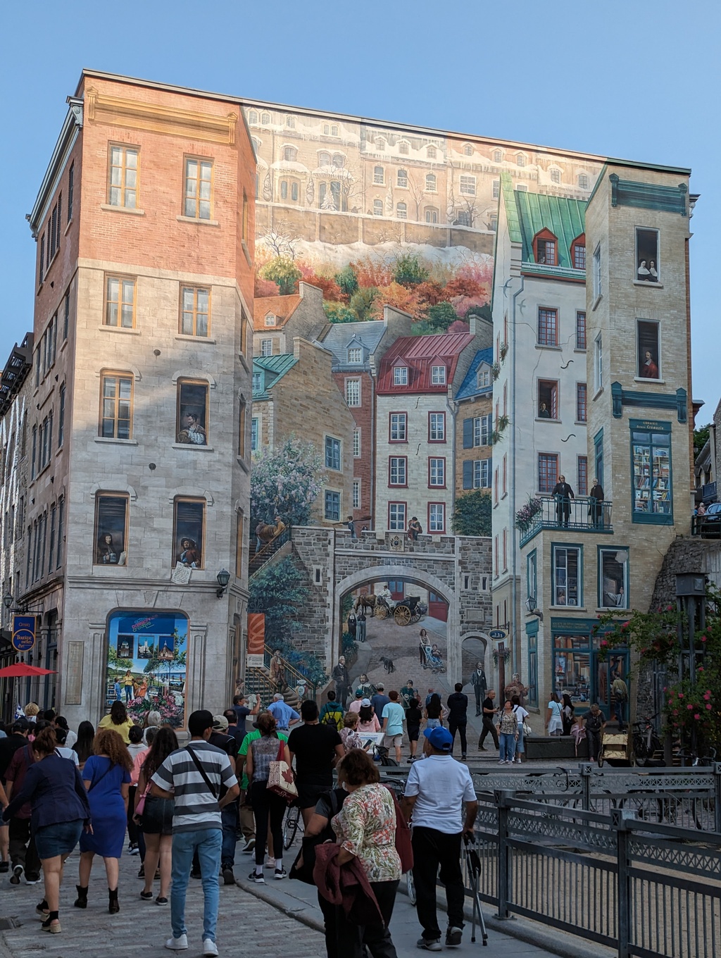
Figure 18: Québec City Mural
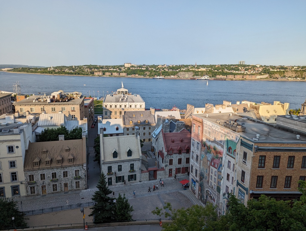
Figure 19: Québec City Mural and Lower Town
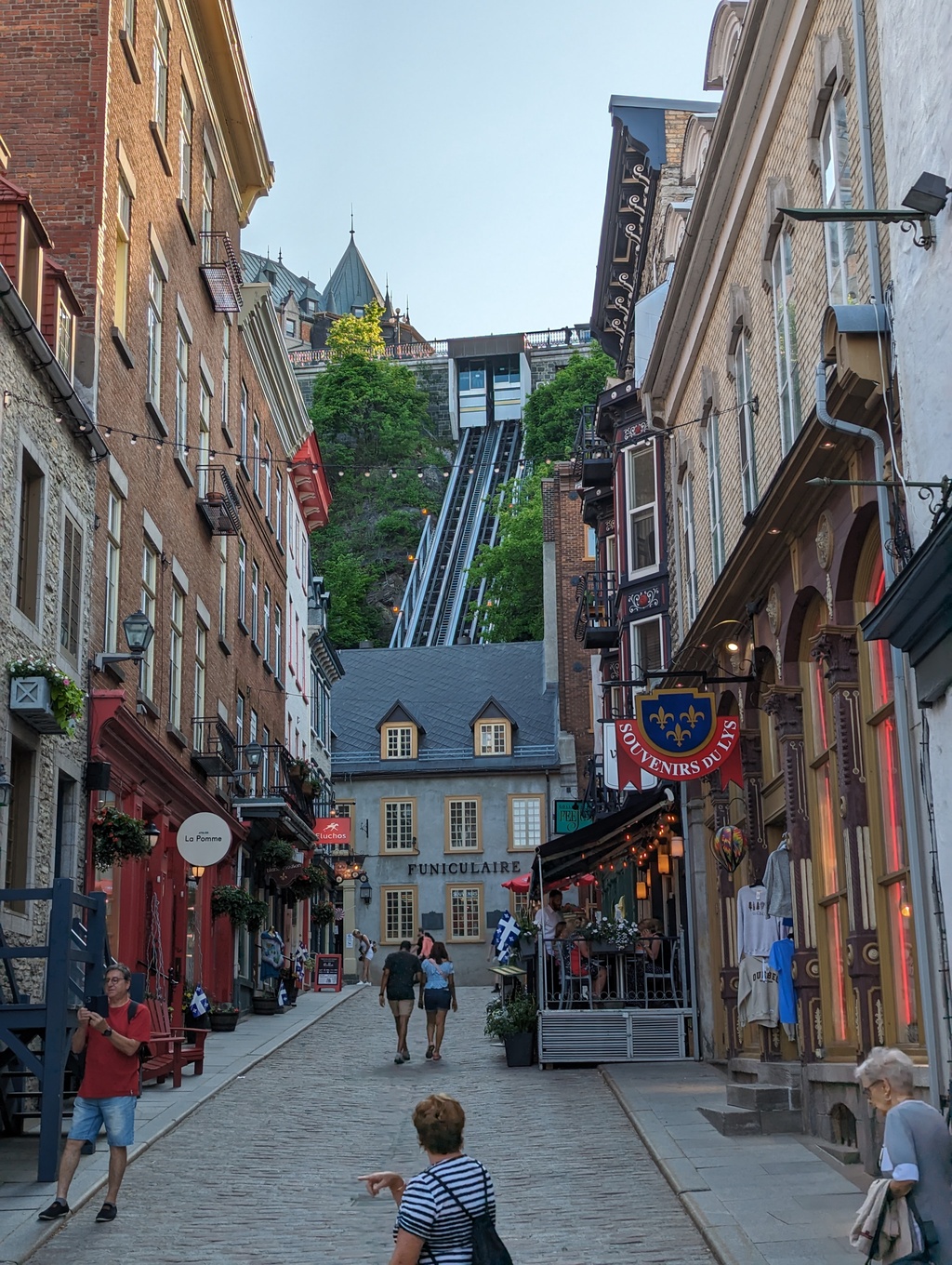
Figure 20: Funiculaire du Vieux
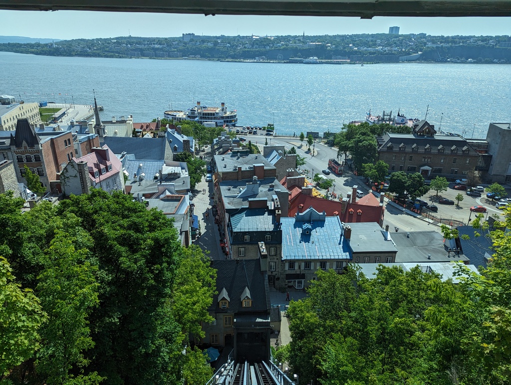
Figure 21: Lower Town from the Funiculaire du Vieux
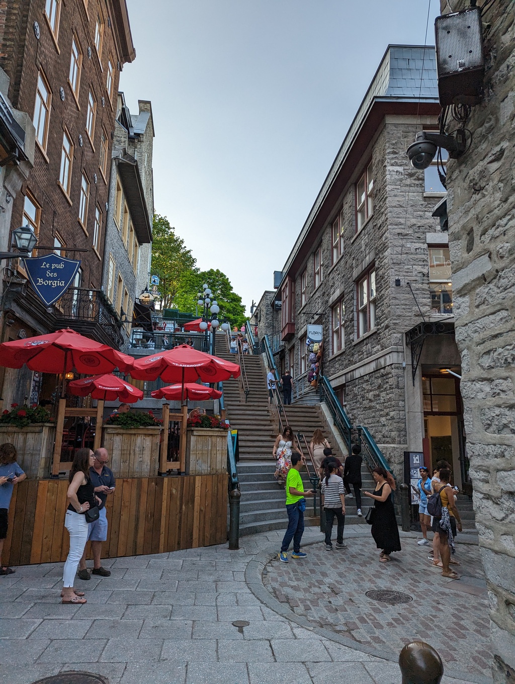
Figure 22: Escalier Casse-Cou (Breakneck Steps)
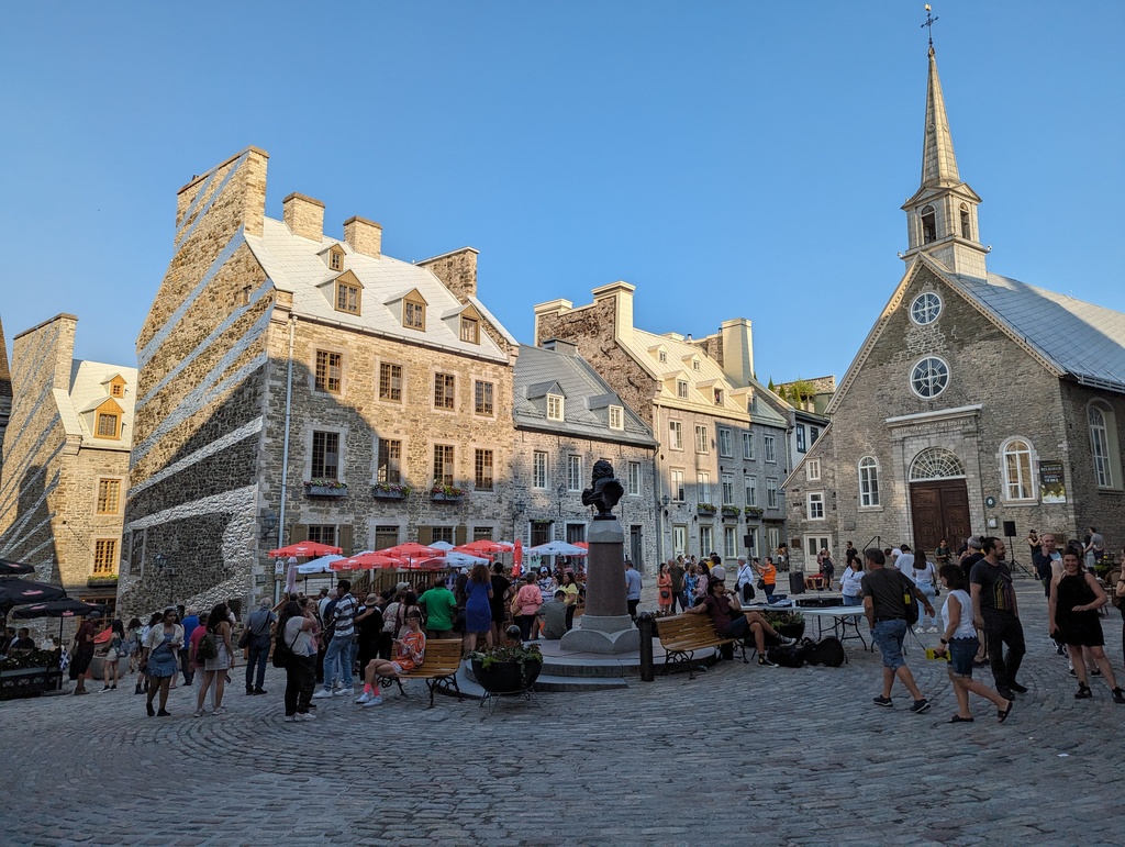
Figure 23: Place Royal
Figure 24: Rue Sous-le-Cap
Figure 25: Passerelle de la Tortue over the Saint Charles River
Upper Town
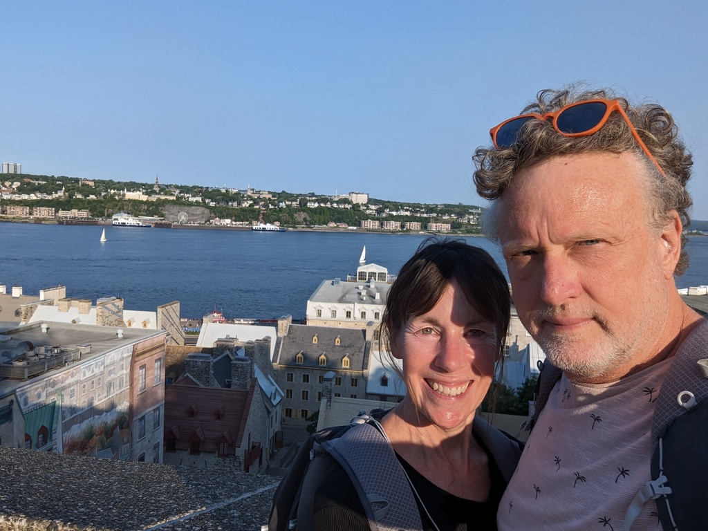
Figure 26: Saint Lawrence River from Upper Town
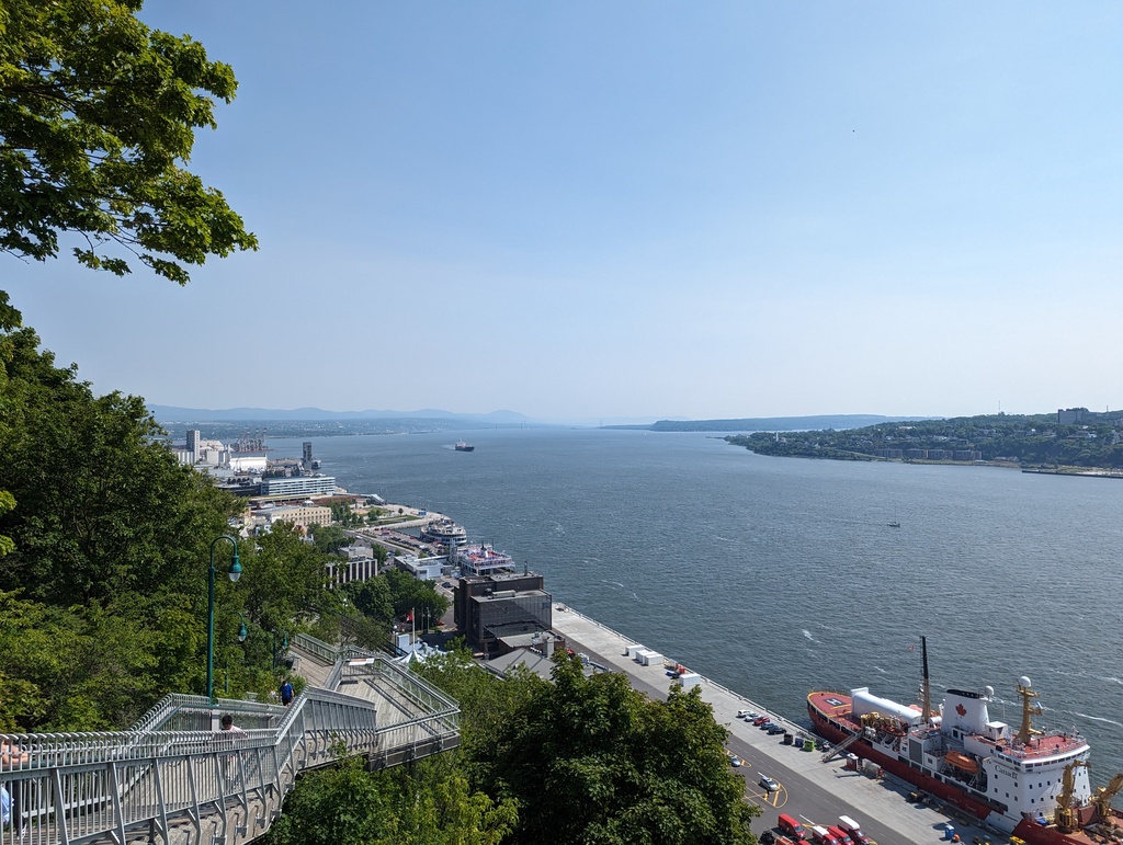
Figure 27: Looking down the Saint Lawrence from Promenade des Gouverneurs
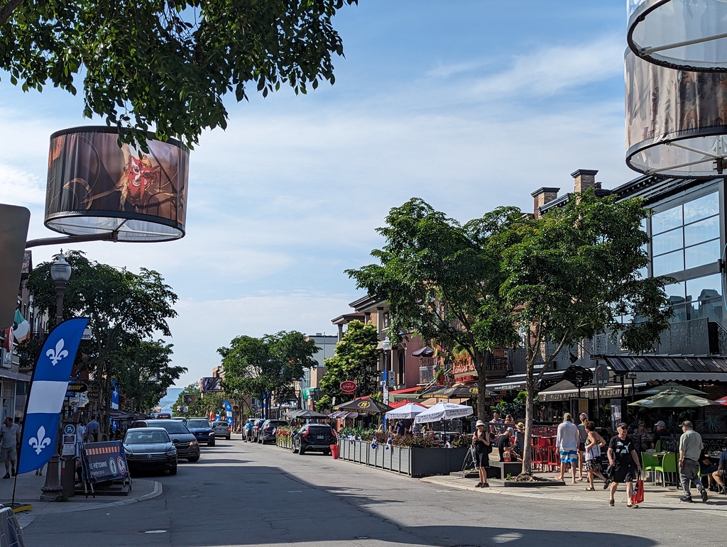
Figure 28: Avenue Cartier, Montcalm
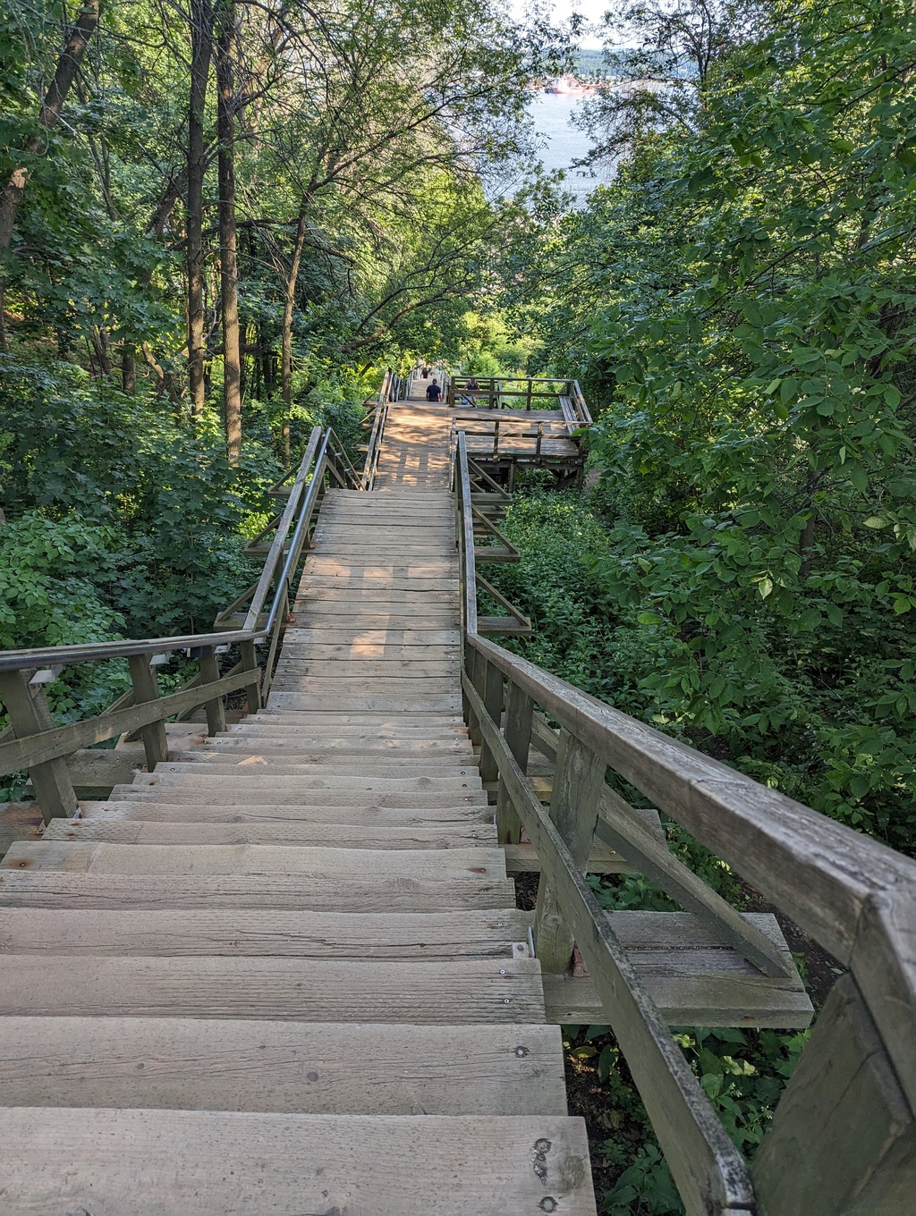
Figure 29: Cap-Blanc Stairs, Plains of Abraham down to Cap-Blanc
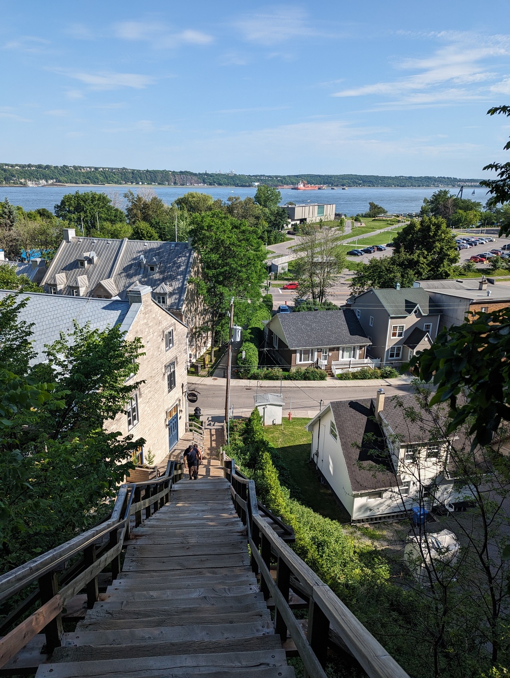
Figure 30: Cap-Blanc, Québec City
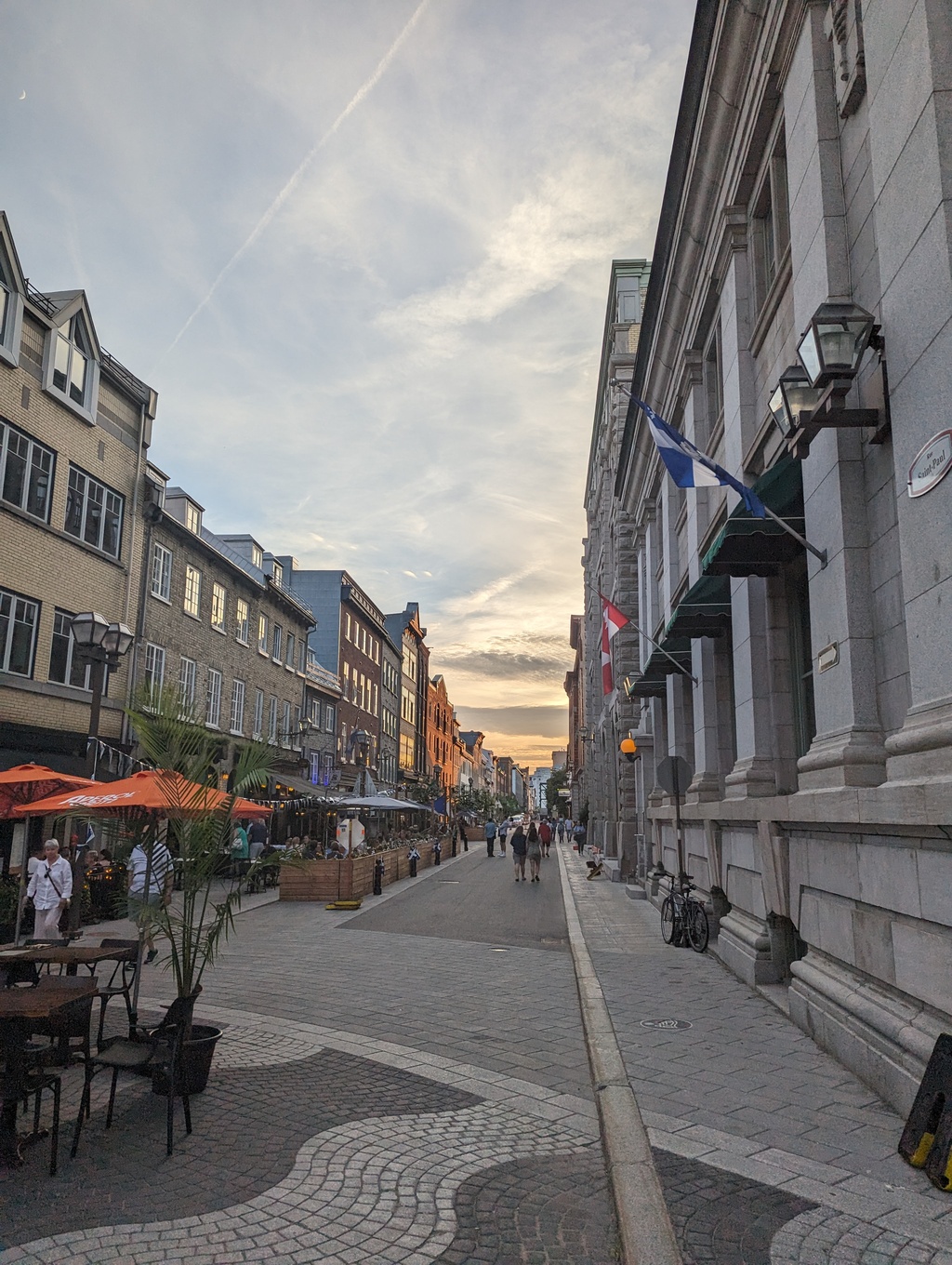
Figure 31: Rue Saint Paul
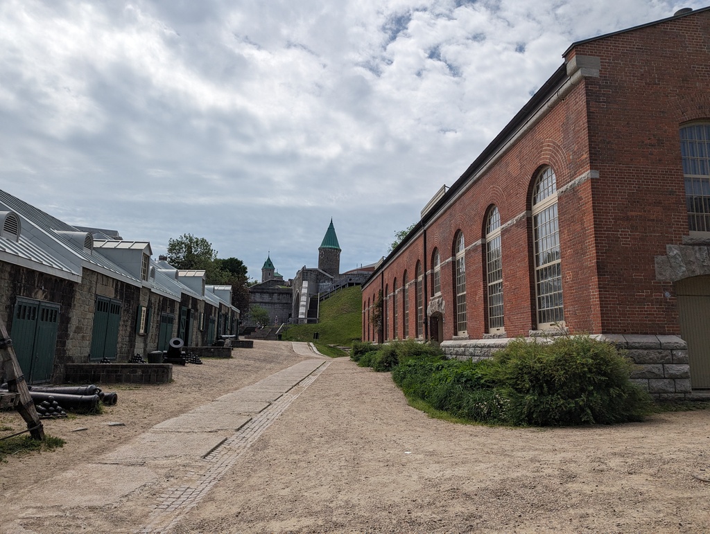
Figure 32: Saint John Gate from Artillery Park
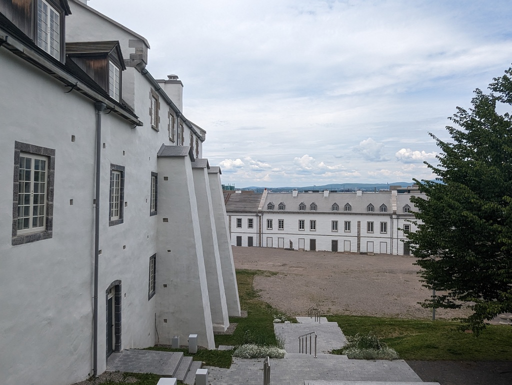
Figure 33: Artillery Park
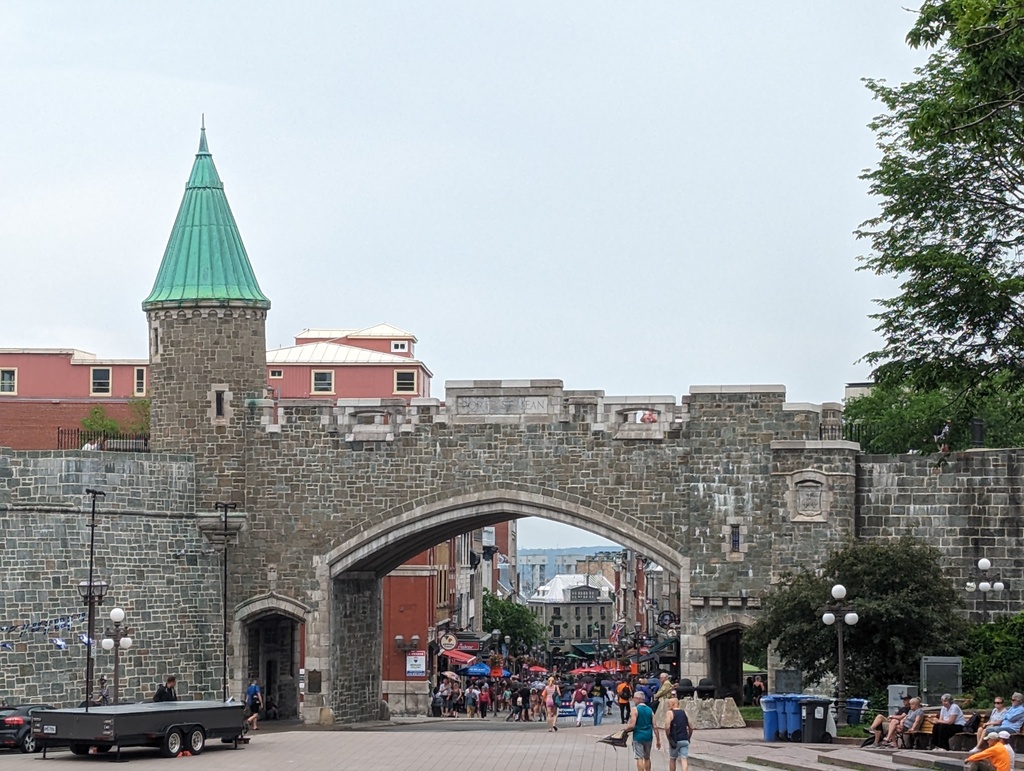
Figure 34: Saint John Gate in original city walls
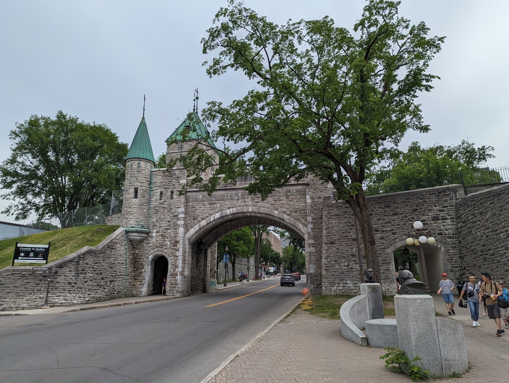
Figure 35: Saint Louis Gate in original city walls
Petit Québec
AnonyMouse is a Swedish street art collective known for its mouse-scale installations. AnonyMouse has snuck their miniature installations into nooks and crannies of more than thirty European and American cities. We noticed this piece of their Petit Québec installation because a family was taking pictures with their children in front of it. We did not find any other pieces.
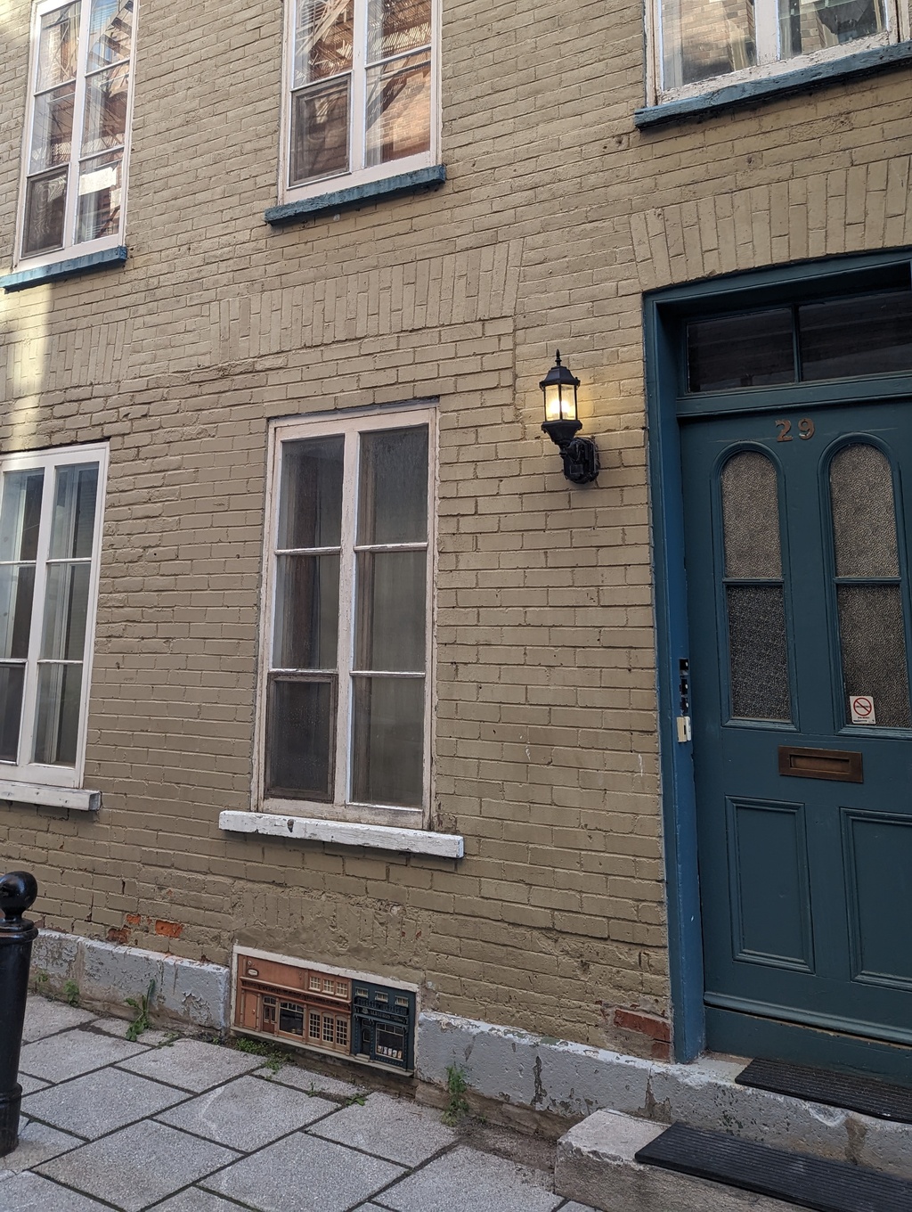
Figure 36: Petit Québec, AnonyMouse Collective
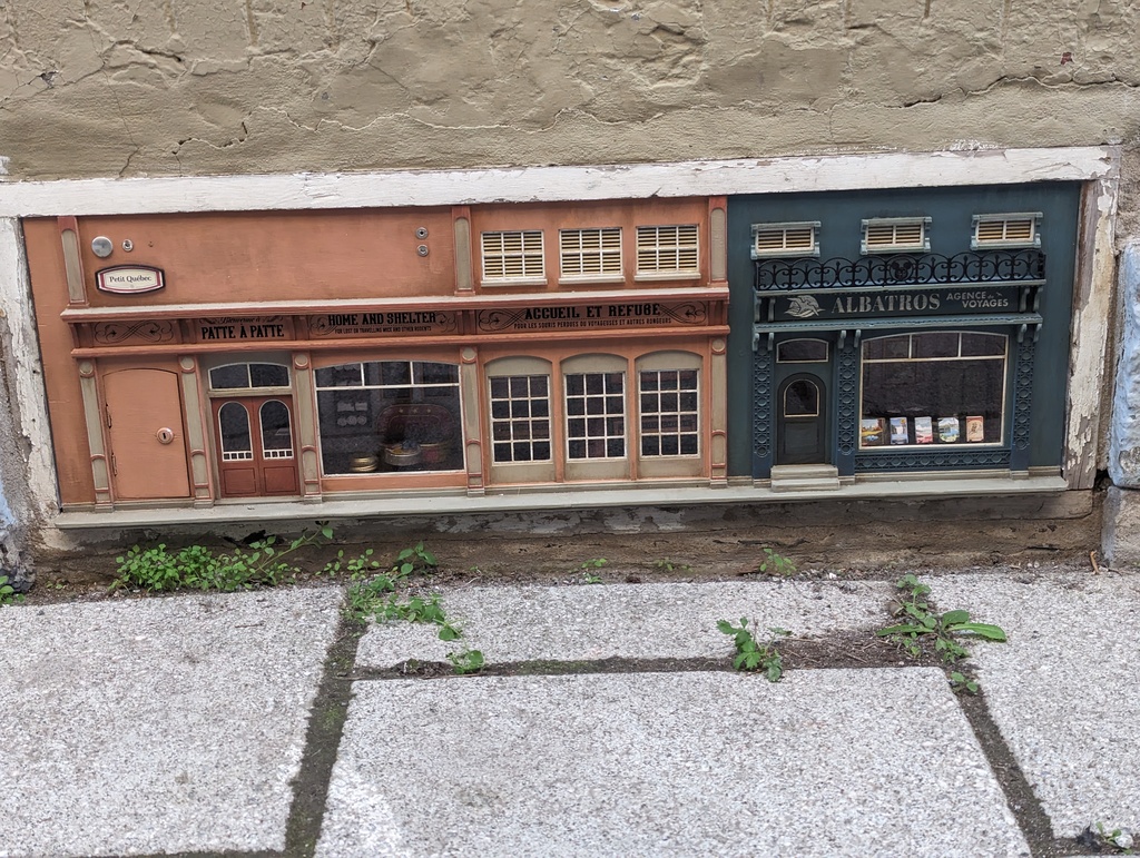
Figure 37: Petit Québec, AnonyMouse Collective
Food
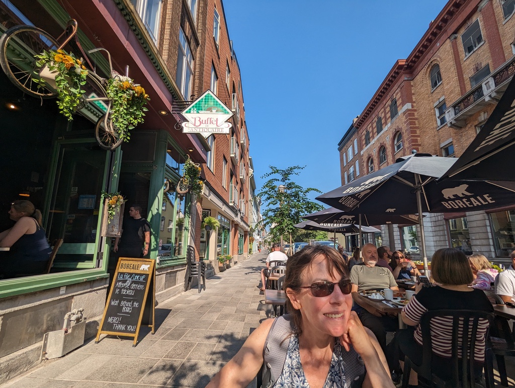
Figure 38: Brunch, L’Antiquaire Buffet
We enjoyed a fancy dinner at Chez Rioux et Pettigrew
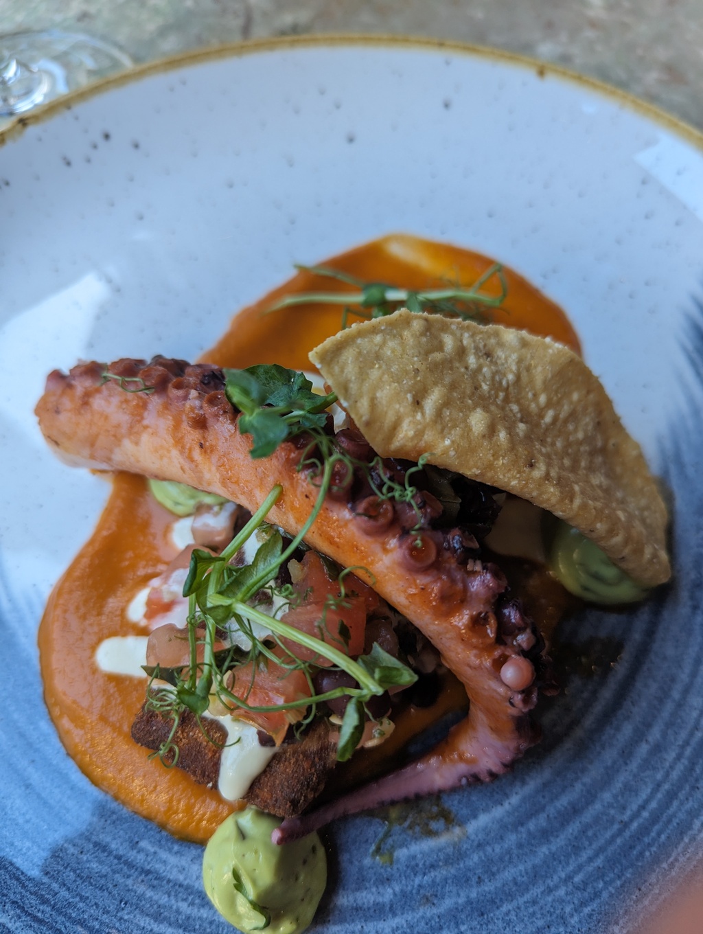
Figure 39: Tasting menu, first course
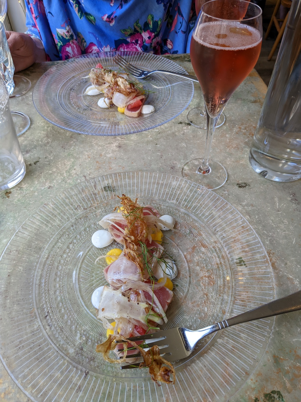
Figure 40: Tasting menu, second course
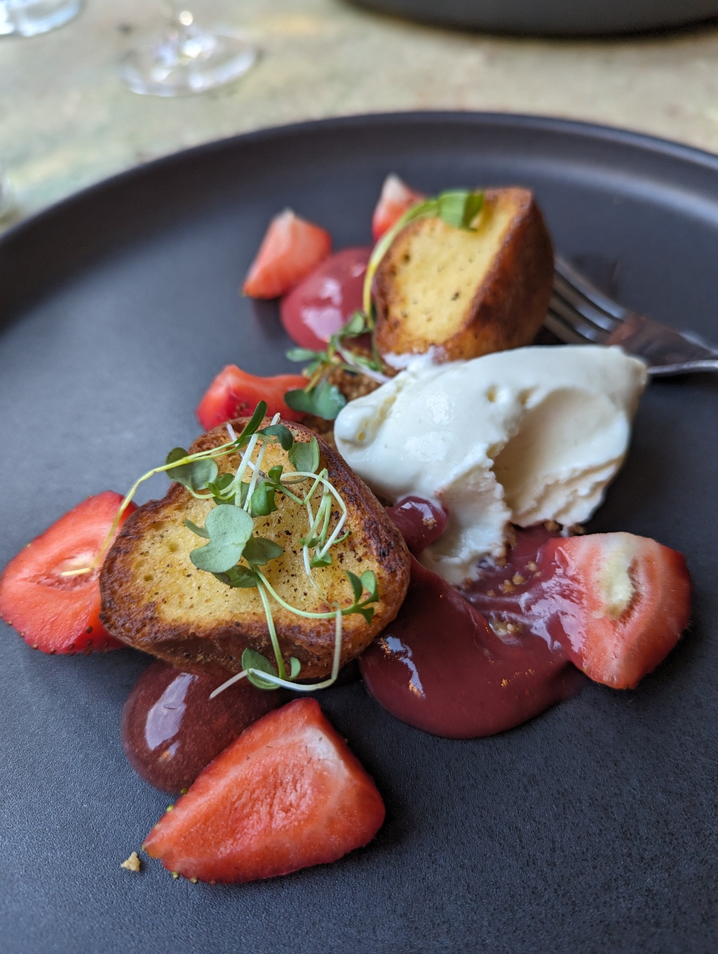
Figure 41: Tasting menu, fourth course
Brunch at Le Casse-Crêpe Breton
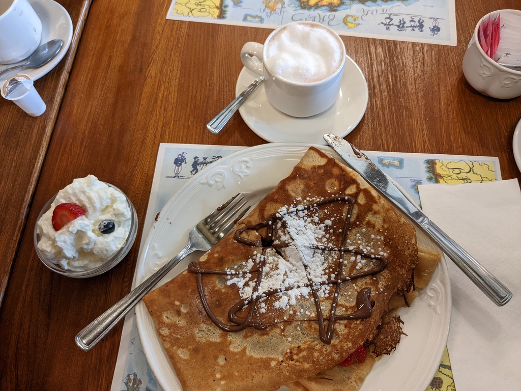
Figure 42: Crepe with Strawberry and Chocolate
Saint Pierre Sighting
More Saint Pierre sightings:
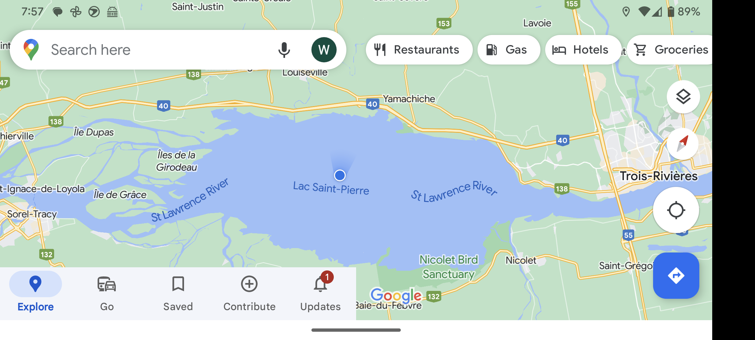
Figure 43: Penguin on Lac Saint Pierre between Sorrel and Trois-Rivières
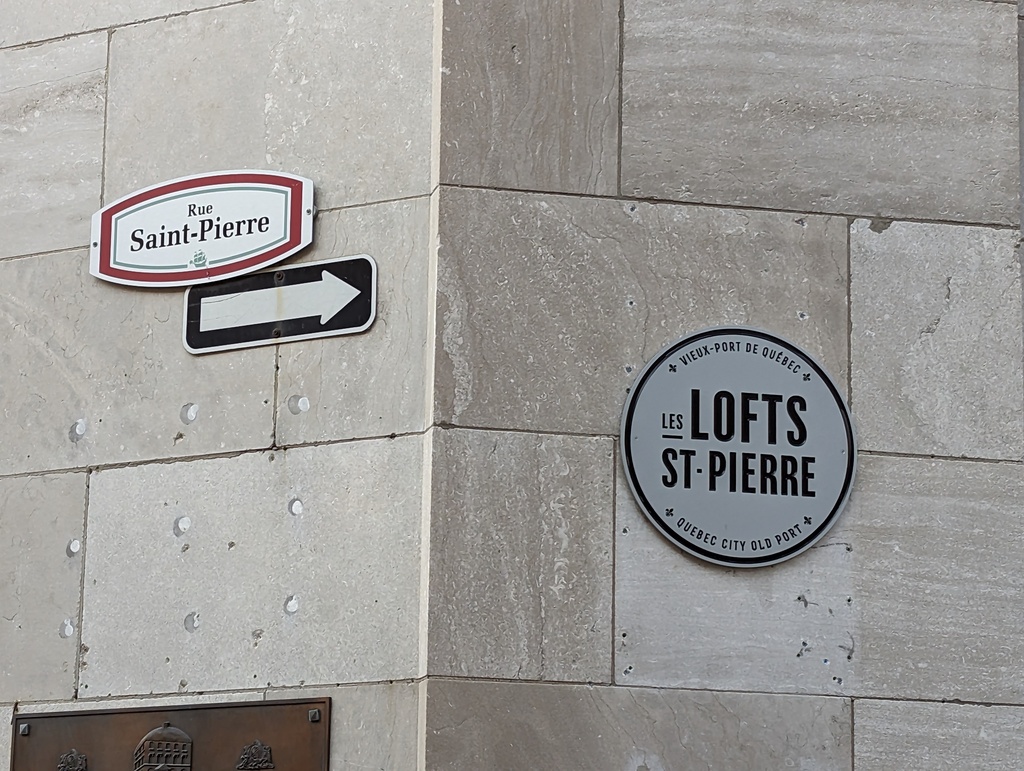
Figure 44: Rue Saint Pierre, Québec City