We traveled this segment between June 3-7. Distance traveled was 361 miles.

Figure 1: Solomons to New York City
We left Solomons Island, MD on June 3 for a trip to circumnavigate the eastern United States – The Great Loop. The first leg was from Solomons Island through New York City. We planned to travel rapidly through to Waterford, NY because we are very familiar with the Chesapeake and covered the same ground when we brought Penguin home from her previous home, Macedon, NY.
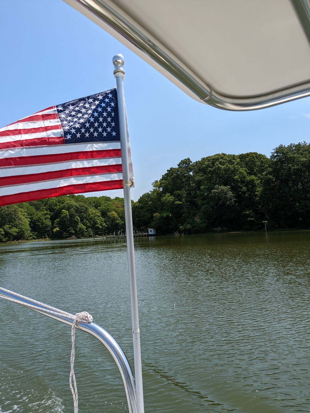
Figure 2: Goodbye!
A late start had us arriving at our first anchorage, Whitehall Bay near Annapolis MD, as the sun was beginning to set.
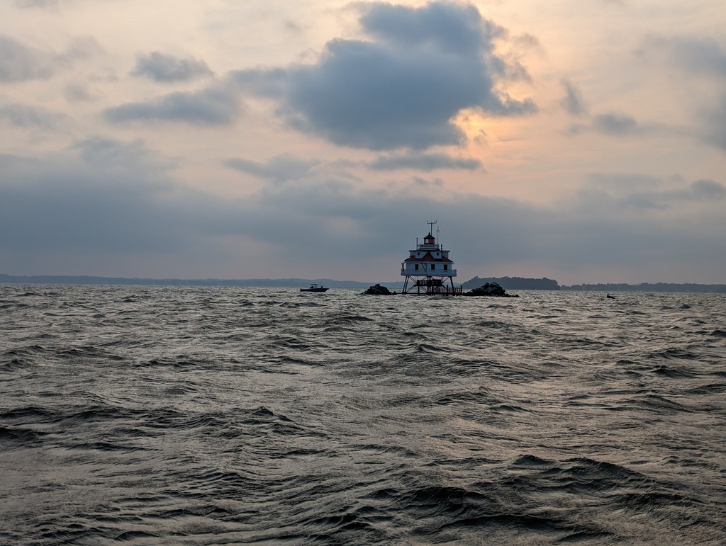
Figure 3: Thomas Point Lighthouse, Chesapeake Bay, MD
We planned to stop in Chesapeake City along the Chesapeake and Delaware Canal (C&D) the next day, but it was the weekend and mobbed. We continued to Salem River, NJ, across from the C&D’s Delaware Bay entrance, and anchored for the night.
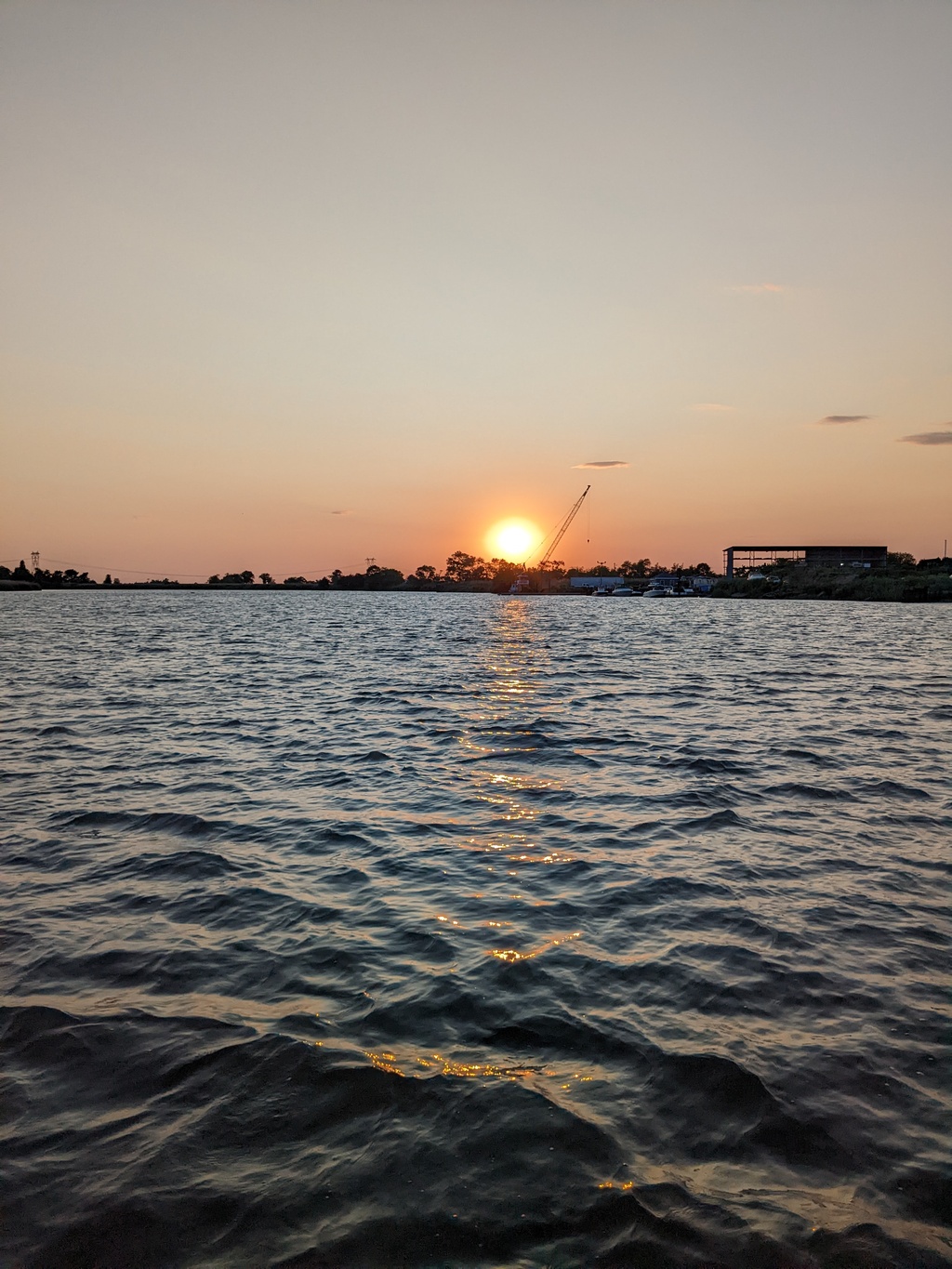
Figure 4: Salem River, NJ Anchorage
The third day, we traveled to Cape May, NJ at the mouth of Delaware Bay and anchored off the Cape May Coast Guard Station.
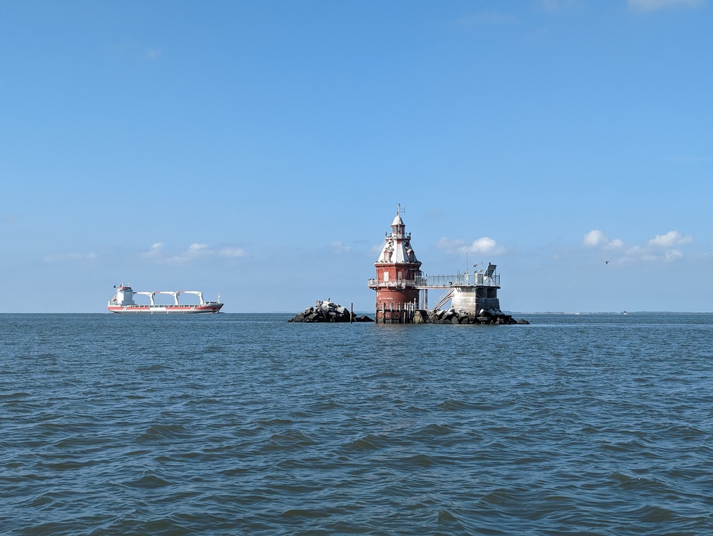
Figure 5: Cross Ledge Light, Delaware Bay
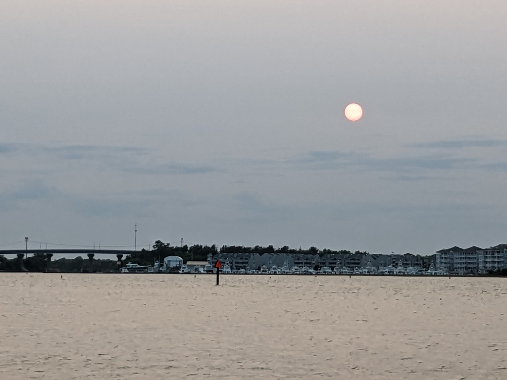
Figure 6: Cape May, NJ
With a favorable forecast for the next day, we left Cape May for Sandy Hook, NJ at dawn. By the time we reached Tom’s River Inlet, we began thinking we might arrive well after sunset. Helpfully, a tidal boost kicked in and we arrived at the first viable anchorage, Sandy Hook Cost Guard Station, with just enough light to see while we “dropped the hook” – a very long day. We spent an uneasy night at this exposed anchorage with waves from wind and passing boats.
Figure 7: Offshore of Atlantic City in route to Sandy Hook, NJ
After fueling in Atlantic Highlands, we made our way up to New York City. On a whim, we decided to take the East and Harlem Rivers around the city instead of the Hudson River, which we traveled on an earlier trip. While we turned from East River before the (in)famous Hells Gate, navigation with currents and commercial traffic were challenging enough! Fortunately, the tide provided a favorable boost. We started to notice smoke in this area from the Quebéc wildfires.
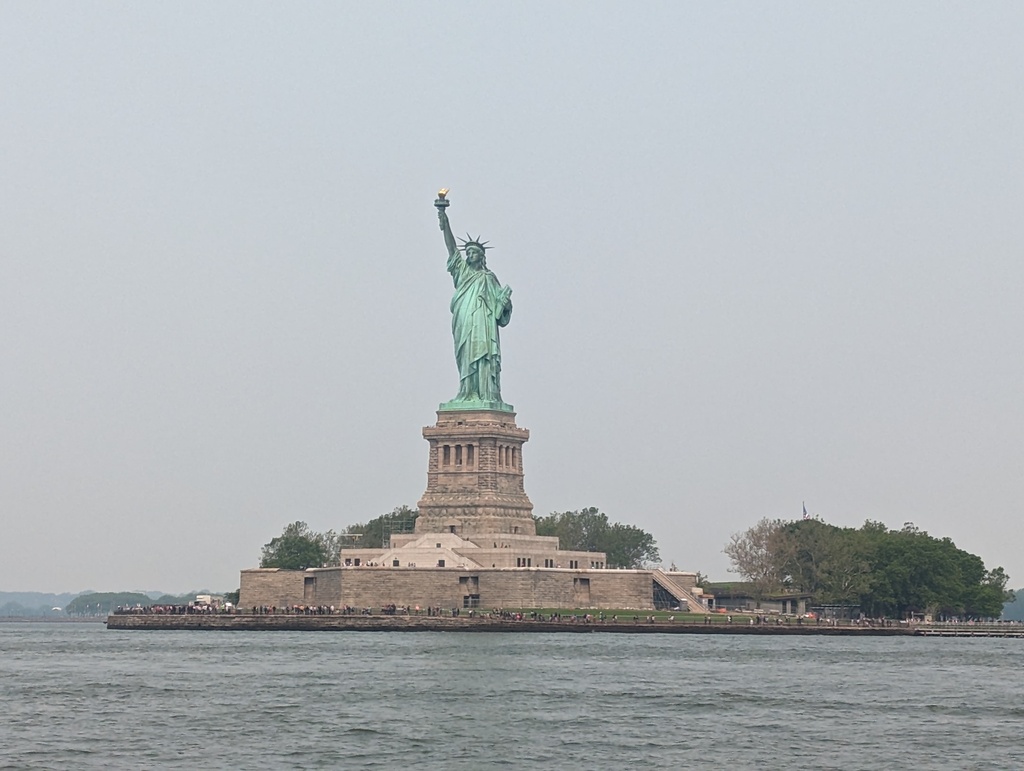
Figure 8: Statue of Liberty, New York Harbor
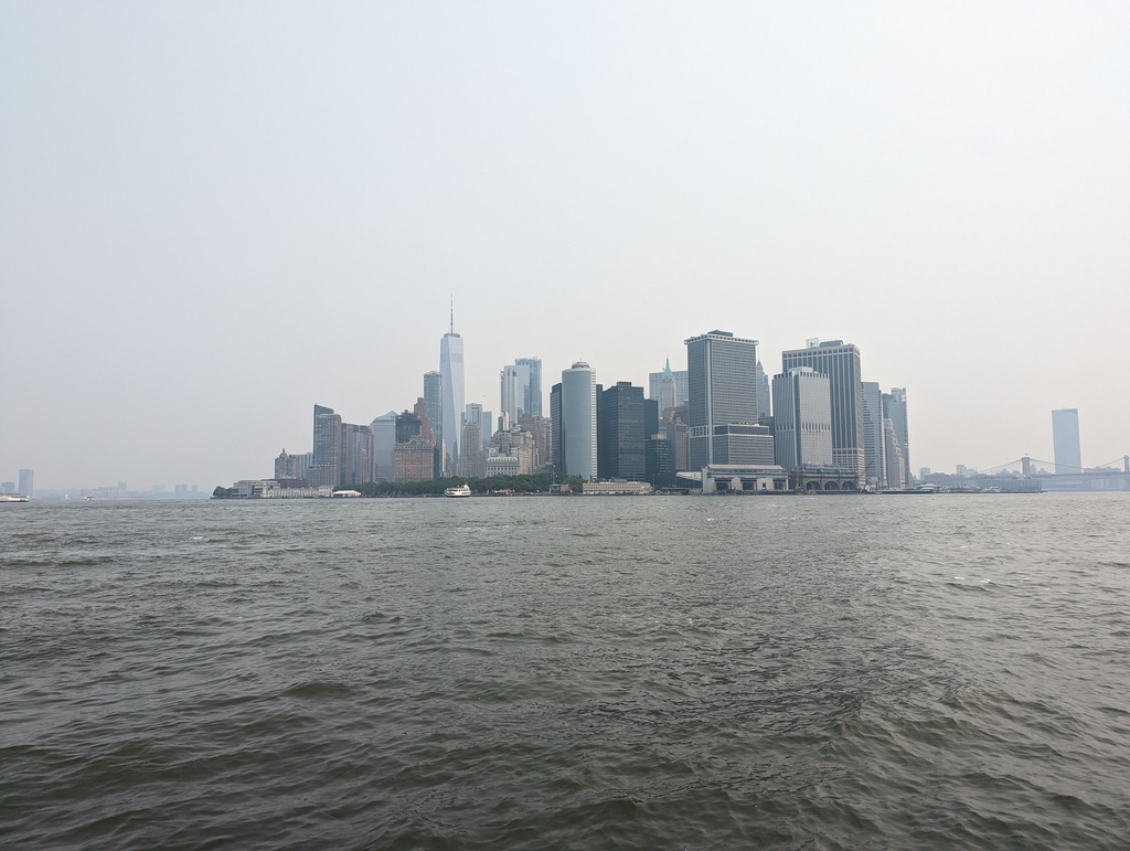
Figure 9: Manhattan from New York Harbor
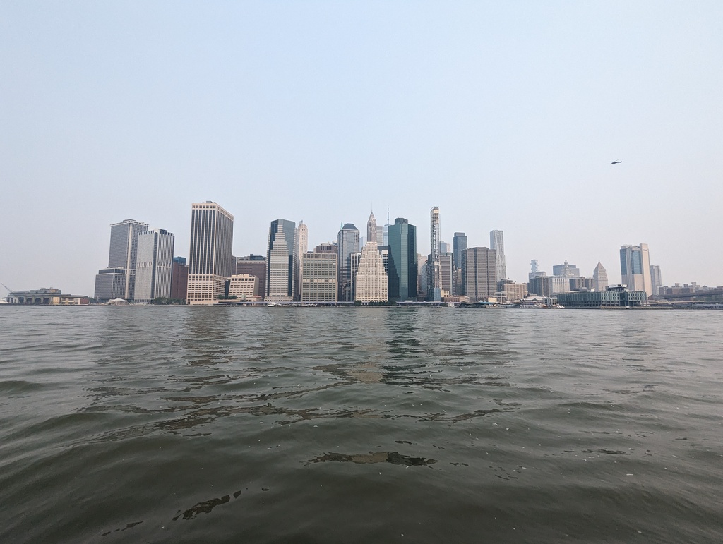
Figure 10: Manhattan from East River
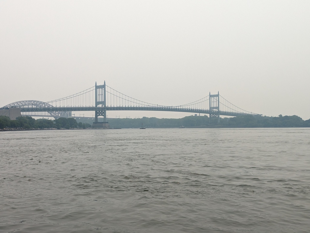
Figure 11: East River Bridges
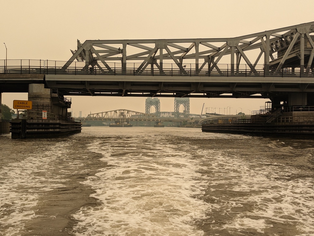
Figure 12: Harlem River Bridges
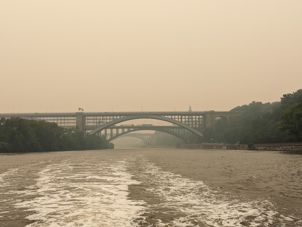
Figure 13: Harlem River Bridges
At the junction of the Harlem and Hudson Rivers we found the Spuyten Duyvil railroad swing bridge with 5 foot clearance, serving the West Side Line for Amtrak – serving the West bank of the Hudson River, Albany and Burlington. We hailed the bridge on the VHF; no reply. Inching forward, we saw a sign with a contact number and phoned; no answer. As we began to think about re-tracing our way to the tip of Manhattan and paying for the earlier tidal boost, the bridge signal sounded!. On to the Hudson!
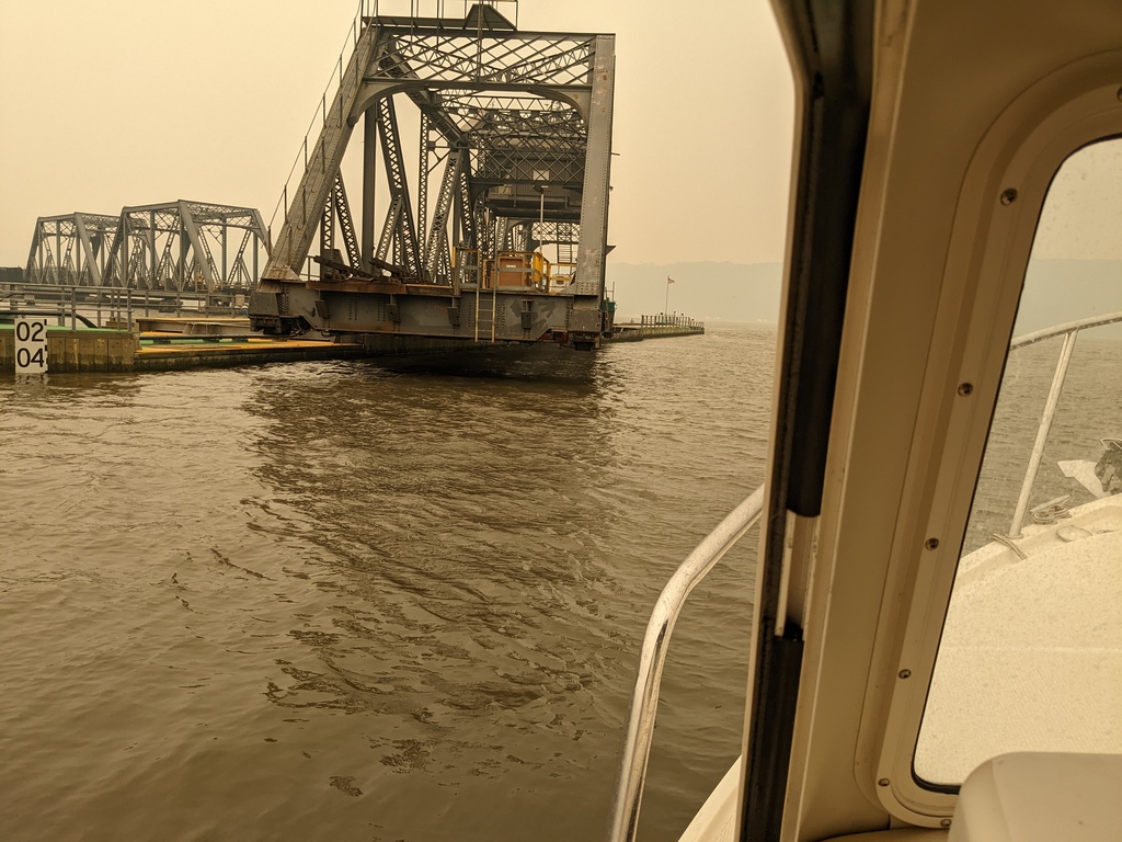
Figure 14: Spuyten Duyvil railroad swing bridge (bf)